Equestrians and the Cascadia Corridor (Part I)
By: Martha Wehling
November 19, 2018
Regional planning for agricultural and equestrian overlays can improve the quality of life and sustainability for residents of the Cascadia urban corridor. As populations and density increase, identification and selection of areas that support agriculture and equestrian facilities in proximity to the corridor will provide high-quality recreation areas accessible to the dense urban populations. Even if only a subset of the population uses agricultural or equestrian facilities for recreation, maintaining these uses on the peri-urban boundary will reduce carbon emissions and sprawl, and will provide valuable ecological services to the dense urban corridor.
The Cascadia Corridor Megacity
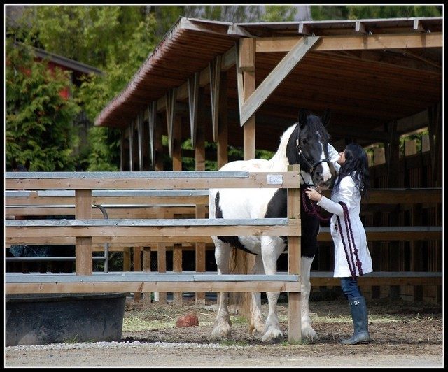
The I-5 corridor along Puget Sound in Western Washington is likely to become a mega-city in the near term future, known as “Cascadia.” 1,2,3 Currently, the population along the corridor between Portland, Oregon, and Vancouver, British Columbia, is 8.4 million and is expected to grow to 11.9 million by 2050.4
It is expected that 2/3 of the world’s population will live in cities by 2030.3,5 Although the world’s urban population is growing, it will likely peak and then decline around 2100 to an estimated population of 9.1 billion.6 Because most (approximately 55-90%) of this population will be in cities, planning now for long-term growth will permit maintenance, restoration, and recovery of the Cascadia corridor’s surrounding open space, natural areas, and agricultural areas.6
Services Provided by Rural Areas
Although urban residents have a higher quality of life than rural residents, they are dependent on rural areas for many services, including water supply, stormwater treatment, biodiversity, open space, viewsheds, carbon sequestration, riparian buffers, animal movement corridors, and food production.7,8 Each of these services requires infrastructure, and as populations in megacities continue to grow, it will increase the demand on surrounding rural areas. The services provided by the agricultural areas are valued by the urban residents; the Economic Research Service/USDA study estimated that households would be willing to pay $1.4 – 26.6 billion a year to conserve rural lands.9
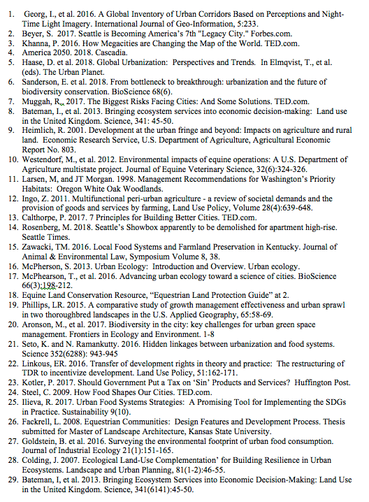
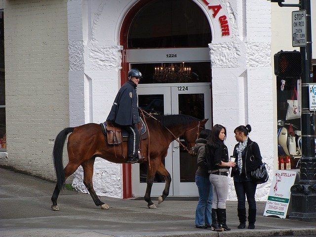
In the 2007 Agricultural Census, the United States Department of Agriculture estimated that there are 4.03 million horses on 576,000 farms in the United States.10 The presence of horses on the landscape can create environmental impacts. These impacts include manure storage and disposal, pasture and crop management, and soil and erosion. 10
However, best management practices to manage the impacts can also provide valuable environmental services to the nearby urban areas, including storm and wastewater management, viewsheds, open space, critical habitat for sensitive species, carbon sequestration, and preservation of sensitive areas, such as wetlands, riparian areas, and sensitive vegetation. In Washington, prairie habitat and oak habitat are both identified as sensitive areas in peril from development, yet are compatible with management of equine facilities. 11
“[A]griculture plays a key role in managing the peri-urban landscape and the social, aesthetic and environmental functions of urban agglomerations nearby”.12 Pastures and arable land provide groundwater replenishment due to their high water infiltration rates, particularly when compared to the impervious surfaces prevalent in cities, flood control, moderation of urban climate, and carbon sequestration. 12
Agriculture uses in urban areas provide a significant contribution to food production as well, with nearly 33% of all farms and 16% of croplands—which produce 1/3 of the United State’s agricultural output – located in metropolitan areas.9 Moreover, dense residential development is generally serviced by sewer systems, which provide better treatment for wastewater than on-site septic systems. 9
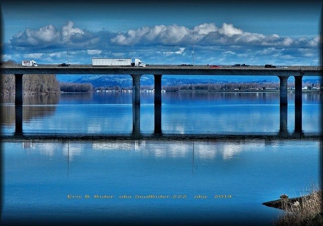
The Cascadia corridor has already established a few multi-use rural areas on the peri-urban fringe, including Capitol Forest in Thurston County and Tiger Mountain in King County. Both are public lands, managed by the Department of Natural Resources, which is required by state law to encourage multiple uses on the lands. Both allow horseback riding, mountain biking, hiking, and nature watching.
By allowing a diversity of uses on the lands, the properties support a wider variety of their nearby populations, which also creates a broad base of support to maintain and fund the lands. Each property also provides unique uses, specific to its location and topography. Tiger Mountain, with its steep grades, allows hang-gliding. Capitol Forest, with its more gentle terrain but proximity to more rural areas, allows all-terrain vehicle use (limited to specific trails and seasons), shooting, and rents one peak for a cellular tower.
[In Part II of this three-part series, Master of Natural Resources (MNR) student will introduce the methods being used to incentivize dense growth in Cascadia’s megacities, in part, to maintain surrounding rural areas. Watch for it on November 26th!]
---

Martha Wehling is a graduate student in the MNR program who enjoys riding her off-the-track thoroughbred, Duke.
The Center for Leadership in Global Sustainability thanks the following photographers for sharing their work through the Creative Commons License: Mark Faviell, SoulRider.222, Bureau of Land Management, and ericnvntr.