Equestrians and the Cascadia Corridor (Part III)
By: Martha Wehling
December 3, 2018
[In Part I of this three-part series (November 19th), Master of Natural Resources (MNR) student, Martha Wehling, discussed the urbanization in the Pacific Northwest’s Cascadia corridor and its impacts on both cities and rural areas, with a specific focus on equestrian recreational facilities. Part II (November 26th) introduced the methods used to incentivize dense growth in Cascadia’s megacities, in part, to maintain surrounding rural areas. In this final installment, Martha presents how agriculture or equine overlays can help support urban sustainability in the Cascadia corridor.]
The State of Washington’s Growth Management Act was designed to protect farmland, resource areas, and open space by regulating growth. Passed in 1990, the law attempts to minimize sprawl through state-wide coordination and land use planning. In an attempt to protect natural resources, properties that are designated by local governments as “rural” or “agricultural” have restrictions on development.
Although growth management is recognized as a method to reduce sprawl, at least one study concluded that it has not been effective in the Cascadia corridor.19 Therefore, this post suggests that more action will be needed in the Cascadia corridor, such as the incentives described above and public acquisition of farmland.
Agriculture or Equine Overlays for Urban Sustainability
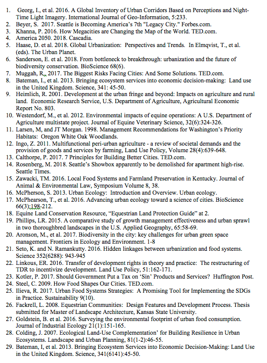
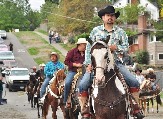
Fortunately for the Cascadia corridor, horse-friendly zoning examples are available from Wellington, Florida, Lexington, Kentucky, Aiken, South Carolina, and Norco, California.26 These examples provide a variety of approaches to promote equestrian uses while maintaining a sustainable urban population.
In Wellington, recognizing that continued growth will occur, the city uses an equine overlay district. Lexington, essentially the horse capitol of the United States, has four categories of agricultural districts, one of which is transitional to development. Aiken created two districts focused on equine uses. Finally, Norco allows property owners to increase their residential density if the property includes horse facilities, and creates a spread of horse uses, with eight of the 14 districts allowing horse uses.
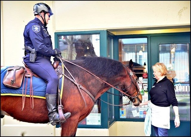
Local and regional land use planning can utilize these models to shape the best system to maintain agricultural and equine uses along the peri-urban fringe of the Cascadia Corridor. Environmental conservation of best management practices for equine operations will also be necessary to preserve the sustainability of the equine industry, especially in rural/urban interface areas where many small horse farms are located.10
Urban areas and their food systems are intertwined, making safeguards of agricultural land and other open space essential to maintain the supply and demand as populations grow.21 When agricultural land is lost at the peri-urban fringe, it increases the demands on infrastructure by requiring increased transportation, storage, and processing from farm to fork. 9,27 It also reduces options to enhance efficiencies, which will be necessary for the denser megacities of the future. These efficiencies include services like the recycling of wastewater sludge onto fields for animal feed. 27
“[T]hrough a synthesis of information derived from the literature related to urban ecology,” this post recommends the utilization of the “ecological land-use complementation (ELC)” approach for urban green areas in the Cascadia corridor.28 This approach recommends clustering of urban green areas to provide increased habitat availability, critical ecosystem processes, and thereby promote landscape functions.28 However, the plan requires planners and urban designers to apply the approach to the landscape proactively.28
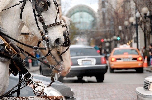
In Washington, each local government can create its own definitions for rural or agricultural uses, yet only a handful of Washington’s local governments specifically identify equestrian uses as a preferred or protected category. However, the creation of an equestrian overlay can provide valuable services that complement the Growth Management Act’s existing protections for rural and agricultural lands.
Agricultural or equine overlays can maintain urban sustainability by providing multifunctional uses in the peri-urban boundary, including agriculture, recreation, restoration, biodiversity, and carbon sequestration.12 As land use planning increases, its focus on ecosystem services and identifying the best use for landscapes, agricultural and open space areas that have been preserved near urban areas will be able to provide economic value for those ecosystem services. 28,29
In addition, the use of equine or agricultural overlays can reduce sprawl. Between 1982 and 2007, nearly 4.5 million hectares of farmland (or 15% of the total cropland in the United States) was lost to sprawl.19 Areas where the local economy is reliant on equestrian services have been able to maintain more compact housing development. And new roadways tend to fill with higher density housing while preserving the locations best suited for the equestrian facilities and services.19
Regional planning now to maintain agricultural and equestrian uses on the peri-urban fringe will provide ecosystem services for decades to come, improving the quality of life for the residents of the Cascadia urban corridor.
---

Martha Wehling is a graduate student in the MNR program who enjoys riding her off-the-track thoroughbred, Duke.
The Center for Leadership in Global Sustainability thanks the following photographers for sharing their work through the Creative Commons License: LWYang, Gil Aegerter, Beau Considine, and Joe Mabel.
References